Biomass, carbon estimations
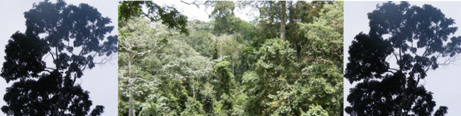
Forests store large amounts of carbon and need accurate allometric regressions for their estimation. Estimation of biomass is done traditionally through destruction of trees and construction of allometric relationships. Implications linked to destruction makes that in many forest ecosystems true data are lacking, resulting to on site data not available for climate change models and other models… In Africa for instance, the absence of species-specific or mixed-species allometric equations has lead for many decades to broad use of general equations with data not collected locally for estimation of tree biomass and the accounting of the carbon budget. This lack of information has raised many discussions on the accuracy of these data.
Our research investigates with true data aboveground and belowground biomass and develops models, allometric relationships for estimation of forest biomass, carbon pools and fluxes in all types of ecosystems (Boreal, temperate, subtropical and tropical forests). Allometric relations in forest ecosystems make that forest managers, ecologists can estimate with accuracy the contribution of biomass on climate change.
Forest ecosystems management and REDD+
In the past decades, deforestation and forest degradation accounted for about 20% of greenhouse gas emissions showing that the mitigation of global warming cannot be achieved without the implication of forest contributions in international agreements. At the 2007 Bali UNFCCC meeting (COP-13), an agreement was reached on “the urgent need to take further meaningful actions to reduce emissions from deforestation and forest degradation (REDD)”. Since then, the idea has evolved to REDD+, which is more than just avoided deforestation. It is all measurable and verifiable reduction of emissions from deforestation and forest degradation as well as sustainable management of forests, conservation of forest carbon stocks and enhancement of carbon stocks. REDD+ .has gained influential support from many international organizations including the World Bank, FAO, ITTO, GEF, UNDP, UNEP and the involvement of most of the UN countries. As a result the UN-REDD has been created in 2008 as a partnership to assist countries in addressing certain measures needed to effectively participate in the REDD mechanism. Sustainable management of forest ecosystems and REDD+ are crucially needed in all latitude to allow that forests contribute in the mitigation of climate change effects in our daily live.
Our research aims at developing with nations, forest managers, private forest owners, national, regional and local forest Inventories scenarios and forest management models that will allow accounting the contribution of sustainable forest management and REDD in climate change mitigation and the carbon footprint.
Application of remote sensing and GIS in Forestry
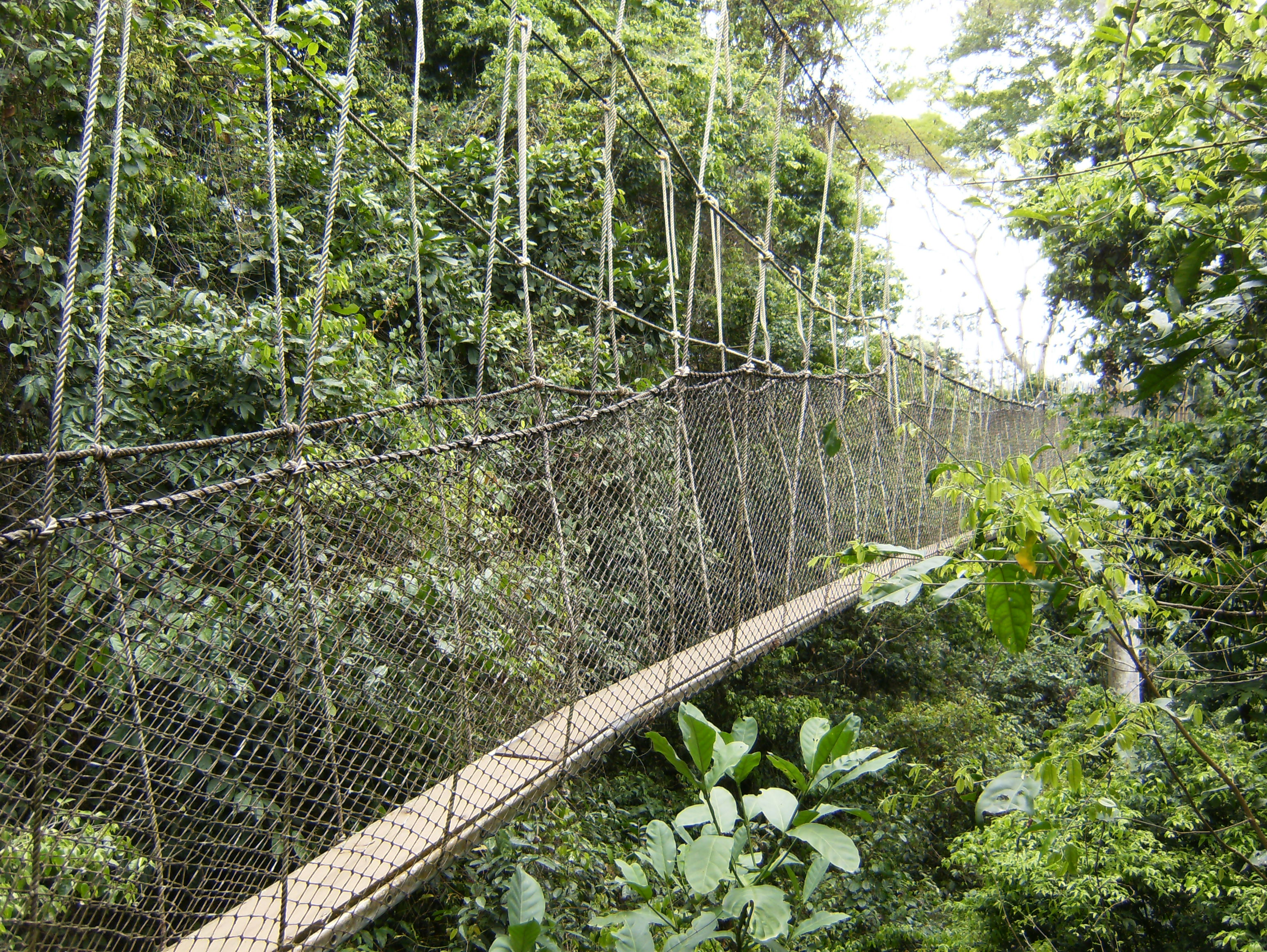
Remote Sensing Technology in combination with Geographic Information System render reliable information on land use change, land use dynamics, etc. The progress made in remote sensing and GIS these recent years have made that there is a lot of applications in forestry. The applications range from the creation of thematic maps, monitoring deforestation and land use change in the tropics and other areas in the world, use of ground penetration radar (GPR) to estimate belowground biomass, use of photogrammetric techniques to estimate aboveground biomass and reduce destruction of big trees to have true biomass data, etc.
Our research includes using remote sensing and GIS technology to:
- Create map of the distribution of biomass and carbon pools in our study areas.
- Avoid the amount of destruction of big trees study which store huge amount of carbon for biomass through the use and application of photogrammetry techniques
- Use of GPR to study the belowground biomass
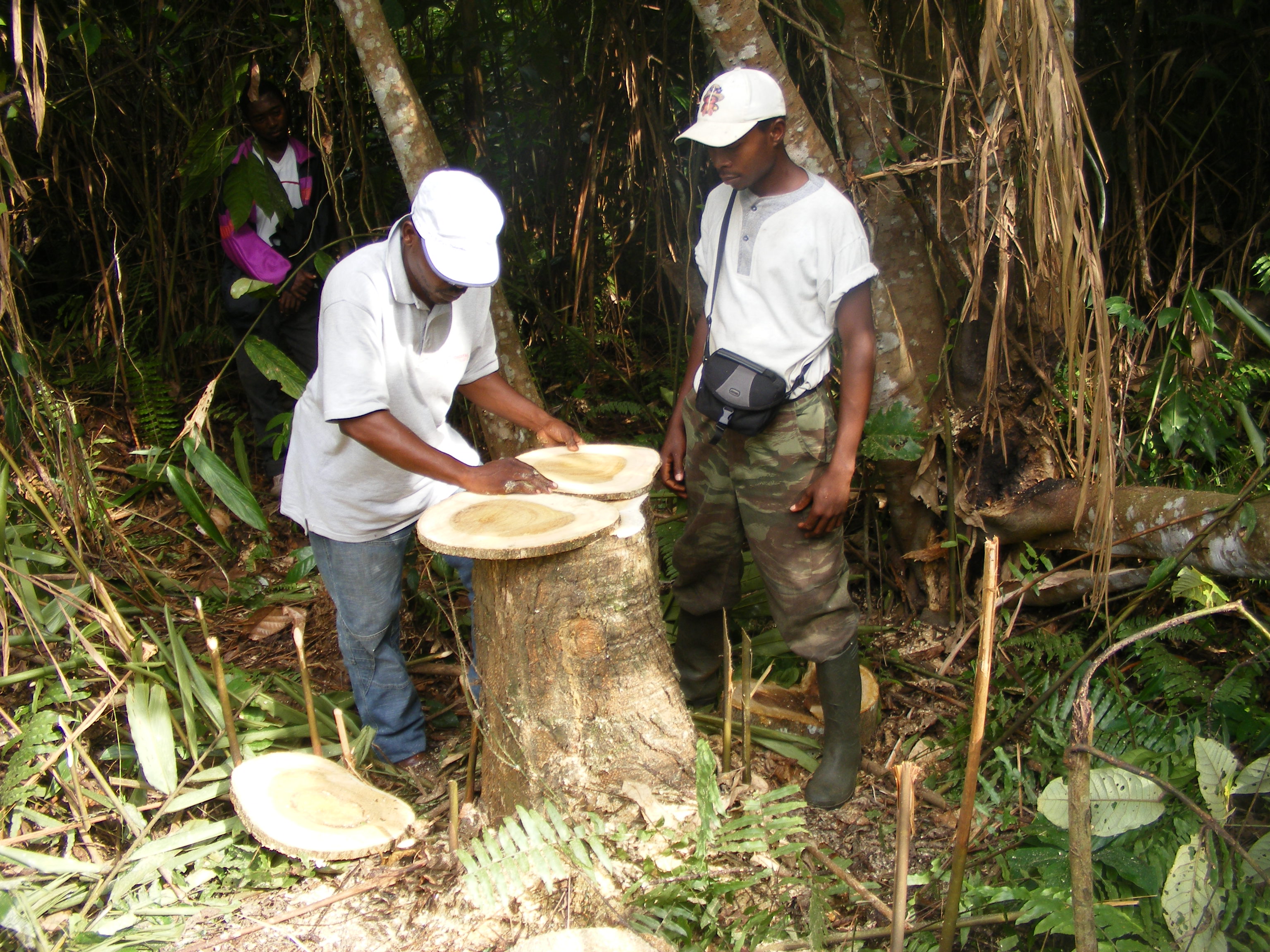
- Use of dendro-chronology techniques to estimate the amount of carbon trees stores each year and also release in the atmosphere through respiration degradation of dead material.
