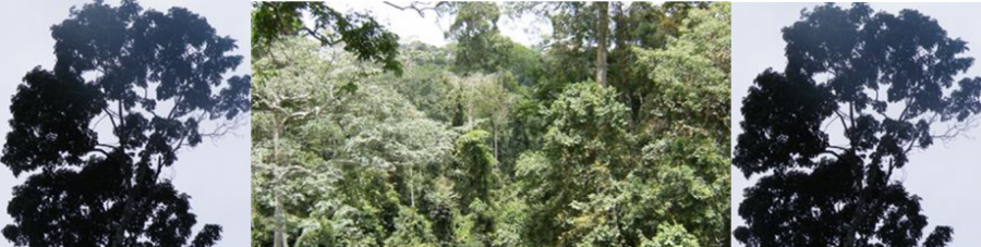
Remote Sensing Technology in combination with Geographic Information System render reliable information on land use change, land use dynamics, etc. The progress made in remote sensing and GIS these recent years have made that there is a lot of applications in forestry. The applications range from the creation of thematic maps, monitoring deforestation and land use change in the tropics and other areas in the world, use of ground penetration radar (GPR) to estimate belowground biomass, use of photogrammetric techniques to estimate aboveground biomass and reduce destruction of big trees to have true biomass data, etc.
Our research includes using remote sensing and GIS technology to:
- Create map of the distribution of biomass and carbon pools in our study areas.
- Avoid the amount of destruction of big trees study which store huge amount of carbon for biomass through the use and application of photogrammetry techniques
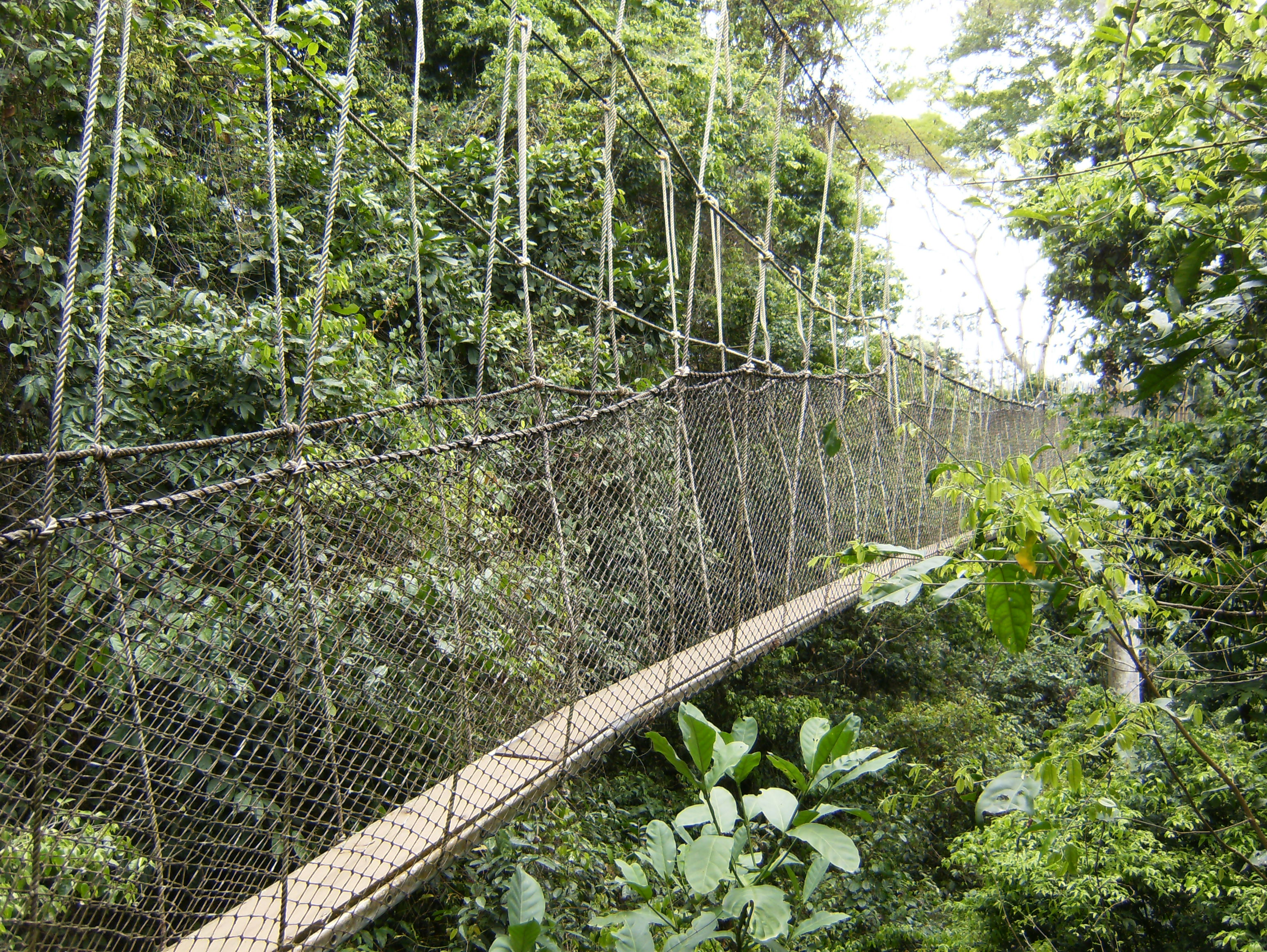
- Use of GPR to study the belowground biomass
- Use of dendro-chronology techniques to estimate the amount of carbon trees stores each year and also release in the atmosphere through respiration degradation of dead material.